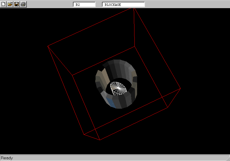
Main window
- [File] - to select, manipulate and save input data files;
- [Help] - to obtain on-line help;
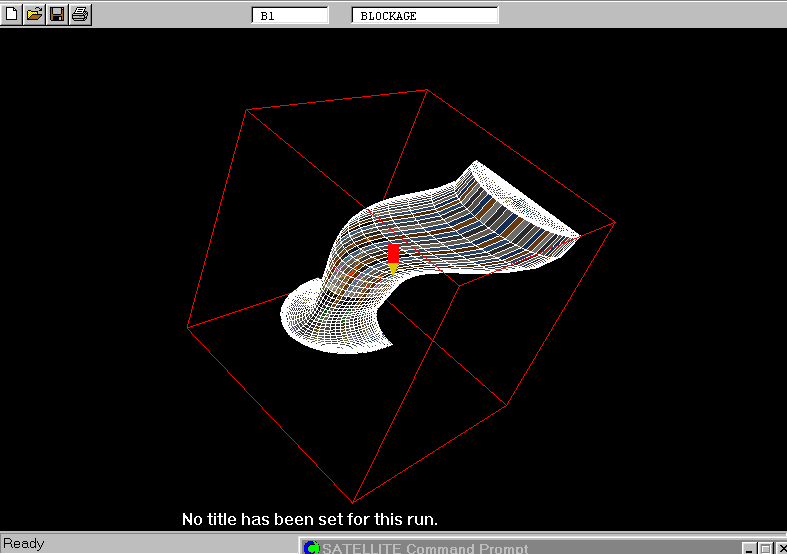
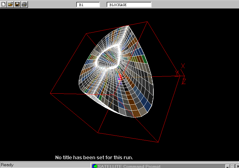
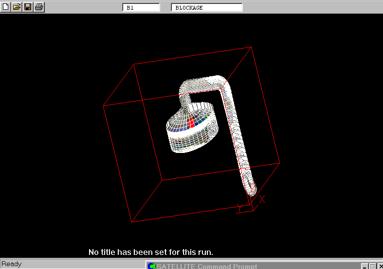
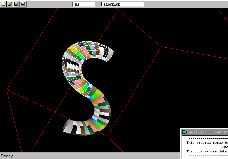
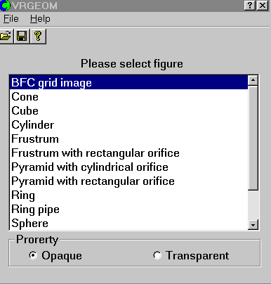
- [Please select] field - to select basic object;
- [Property] - to select type of color shading;
- [Tool bars] - to activate directly some of the dialog boxes.
![[Tool bars]](/phoenics/d_polis/d_docs/tr326/toolbar.gif)
Use of the menu
Menu items are selected by mouse in the usual way - use the left side mouse button.
An example of the main graphics window menu - [File]
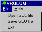
Selection of [Open GEO file] leads to a lower level menu where appropriate file selections are made.
Similarly for other choices.
Local on-line Help is provided.
Methods of input
Input modes are:
- activation of command icons using mouse, eg [File];
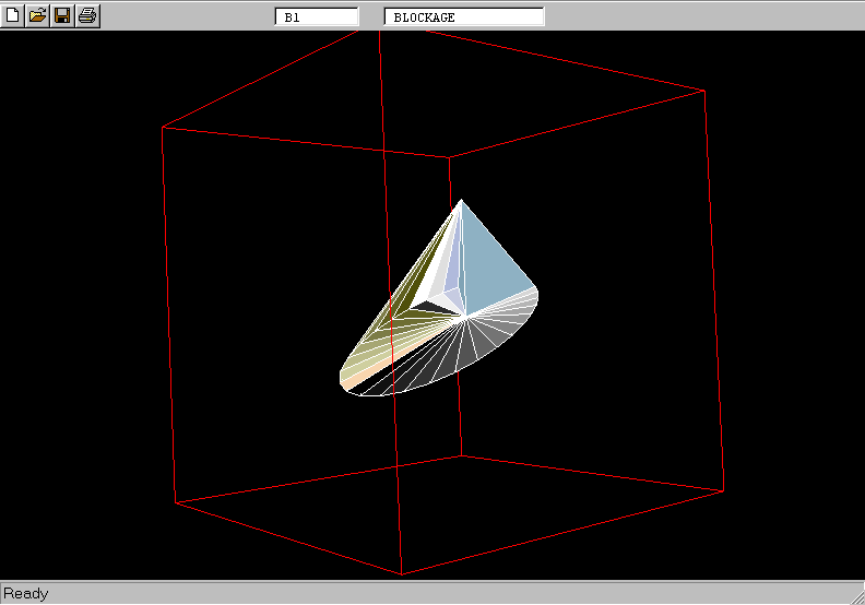
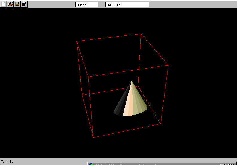
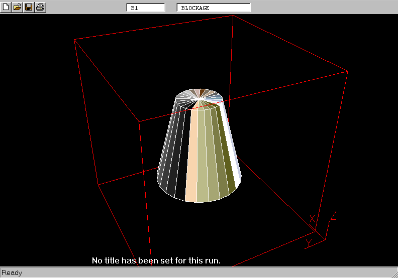
- selection of options using 'buttons', eg [Cone];
- input of data fields (numerical or character) via keyboard - field to be se is selected by mouse;
- scrolling and selection from the list.
Following input, when appropriate:
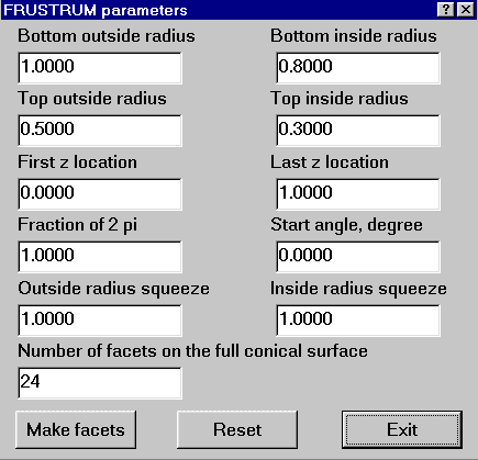
- [Make facets] creates geometry file;
- [Reset] resets data;
- [Exit] quits window.
All user-input data are saved in the file of specified name by clicking
[File]/[Save GEOfile].
They can be loaded
back by clicking [File]/[Open GEOfile], when
required.
Saving and loading input data
Outstanding tasks for completion